info@aerospacemapping.com

An Aerial and Land surveying consultancy and Survey Project Management Company.
Services
Our Professional Service Providers include, but are not limited to:
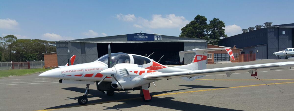
• Aerial photogrammetry
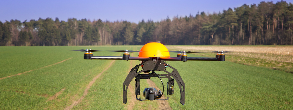
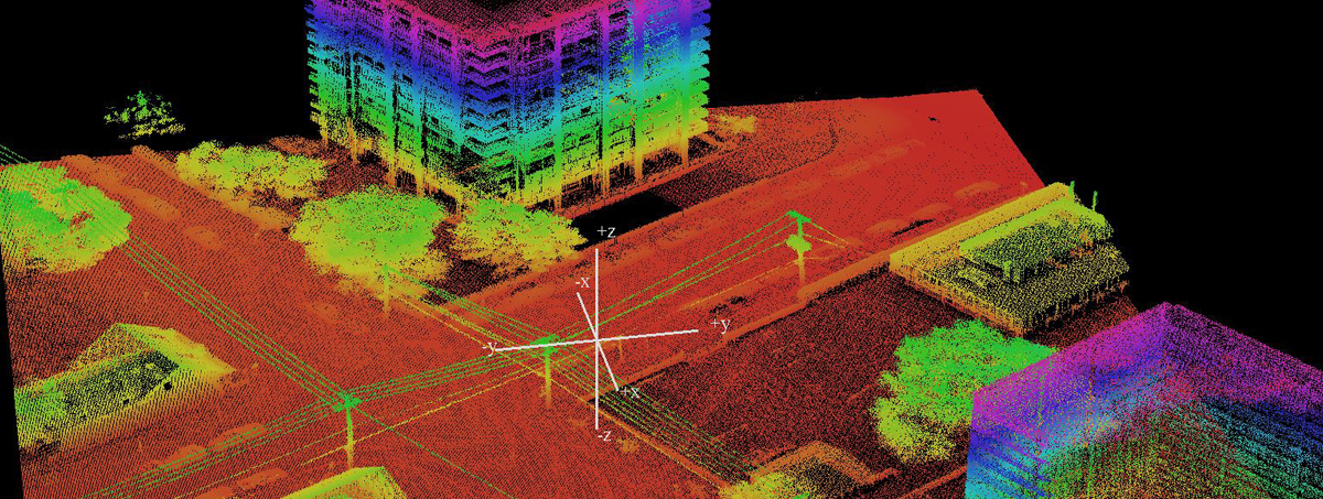
• Aerial lidar
• Hyperspectral
• Multispectral
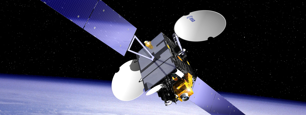
• Satellite imagery
• Thermal imaging
• Ground Surveys
Our products can be used for the following mapping solutions:
• Agriculture, for example irrigation
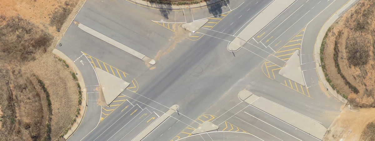
• Infrastructure development, for example roads, railways pipelines,
canals and
hydro-electric schemes
• Carbon auditing
• Volume calculations, of stockpiles and pits
• Mining (cradle-to-grave) from start-up to rehabilitation
• Flooding
• For example irrigation or crop health
• Carbon auditing - Forestry
And many more, giving us the ability to source the right services for the client in the most cost efficient/cost effective way, in other words a full consulting and Project Management service

We are the Sub Sahara reseller of SuperMap. SuperMap offers a complete set of GIS software, including desktop GIS, mobile GIS, web GIS and all types of GIS development kits for .NET and JAVA. The software is developed in the Peoples Republic of China

Copyright | © | 2015 | AMS (AeroSpace Mapping Solutions)
Designed By :