info@aerospacemapping.com


An Aerial and Land surveying consultancy and Survey Project Management Company.
AeroSpace Mapping Solutions
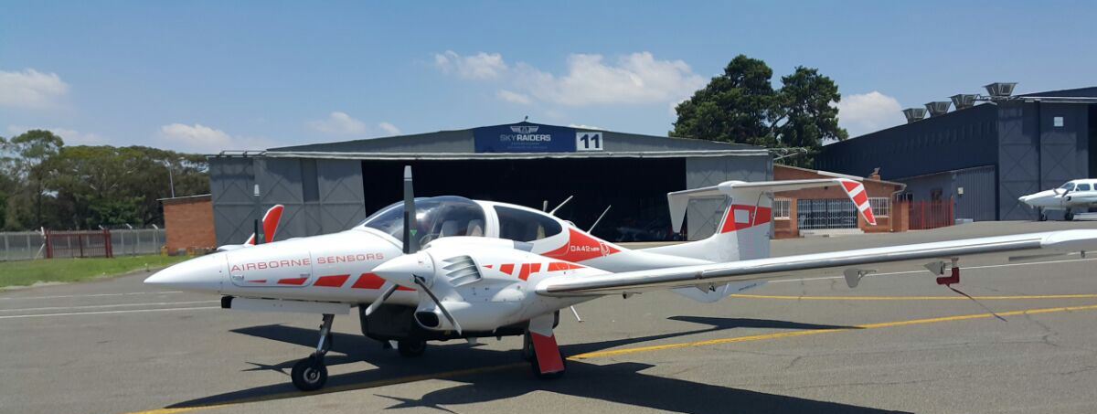
AeroSpace Mapping Solutions (AMS) is an airborne, satellite based survey consultancy that
provides its clients with planning, procuring and project management services.
AMS is connected with professionals in all its service fields and therefore is able to provide clients
with advice from a professional in that specific and relevant field.
AMS assists its clients to ascertain exactly what they require and how to achieve it. AMS’s solutions and
approach ensures its clients save time and money while simultaneously attaining a fit for purpose result.
AMS handles projects from cradle-to-grave if needed, but can also provide expertise on one specific facet or
multiple pre-determined facets of a project, for example planning or processing and so on.
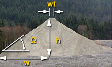
Agriculture
Mapping


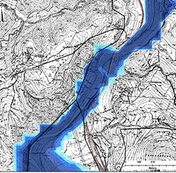
Flood
Mapping Solutions
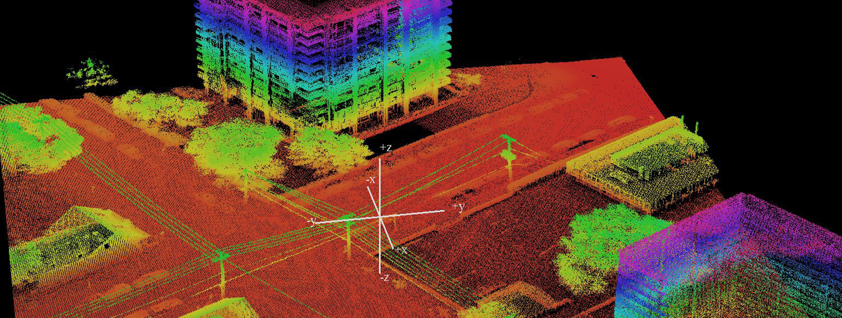
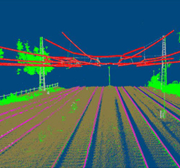
Infrastructure development, roads, railways etc
Location
Copyright | © | 2015 | AMS (AeroSpace Mapping Solutions)
Designed By :